
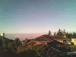
Here are the maximum temperatures on Tuesday. In places where the low clouds never burned off---northwest Washington north of Everett--temperatures only got into the upper forties, typical mid-winter highs in the area. In contrast, at some stations on lower slopes between 1500 and 2500 ft, temperatures surged into the 70s and 80s. YES, 80s. Mid-summer heat wave territory.

The reason, of course, is that high pressure has produced an extraordinarily large and shallow temperature inversion. The vertical sounding at Quillayute, on the Washington coast, shows conditions yesterday morning. Roughly a 15C (27F) increase in temperature in the lower few thousand feet.


0 nhận xét:
Đăng nhận xét